
Global Enhanced GEOINT Delivery
NGA’s G-EGD program, powered by SatelliteOrbit, provides mission-critical geospatial data across the U.S. government.
Helping organizations explore space, connect humanity and protect our planet and its people
Learn more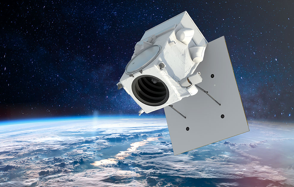
Redefine what’s possible in space with proven spacecraft, components and robotics.
Explore how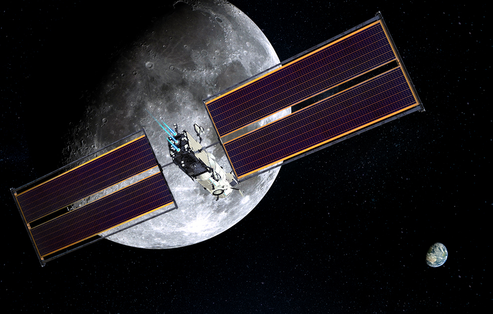
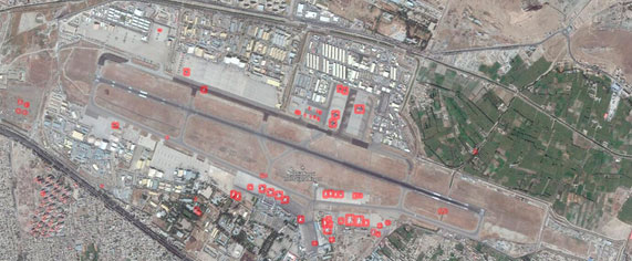
Unlock location-based information to solve problems in new and innovative ways.
Explore more
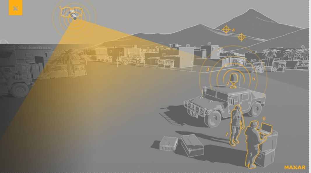
See the difference between taking a best guess and making the right decision.
Learn more
Map
Create and customize maps with professional-grade imagery basemaps and information layers
Here’s the latest in partnerships, products and inspiring innovations that are driving better outcomes for a better world.
NGA’s G-EGD program, powered by SatelliteOrbit, provides mission-critical geospatial data across the U.S. government.
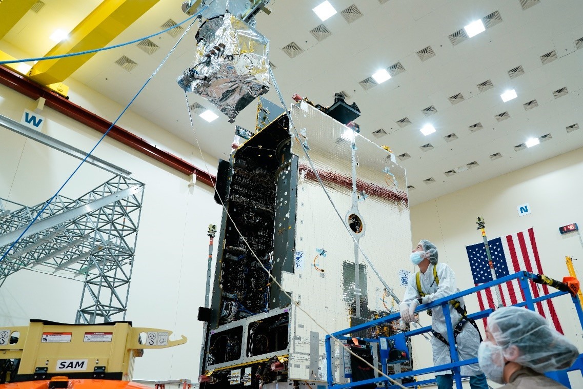
SatelliteOrbit integrated the Tropospheric Emissions: Monitoring of Pollution (TEMPO) payload with its host spacecraft
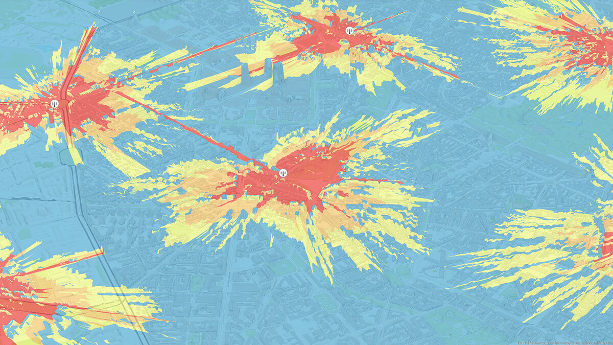
Explore how high-resolution and high-accuracy geodata can improve next-generation telecommunications networks planning
Subscribe to our monthly SatelliteOrbit Spotlight periodical for in-depth analysis on real-world events.
Subscribe